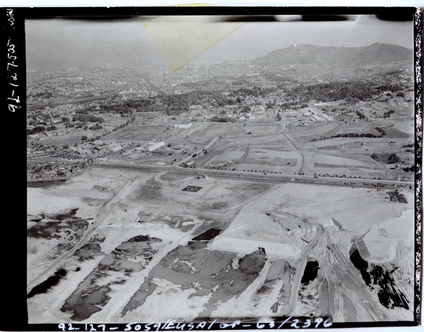
The moment we see Yongsan through an aerial photograph, the familiar ground begins to read differently. The 1948 image shows how military occupation overlapped with everyday urban life after liberation, while the 1963 view of South Post reveals how the Cold War base system reorganized the riverside and the city center.
In this archive, aerial photographs are not background images. They are evidence that urban change was recorded together with arrangements of power. On the ground, buildings and roads may seem separate. From above, barracks, railways, rivers, residential districts, and open land reveal their relationship within a single frame.
Yongsan’s aerial photographs therefore lead to a basic question: where does military space end, and where does the city begin? That question also connects directly to the present discourse of park-making. To read past military arrangements is to reopen questions about land use, memory, and public space in the present.
Related pages
/en/items/1963//en/items/rg-111-ccs-b-49-cc-48794//en/research-guide/