What kinds of materials are in this archive?
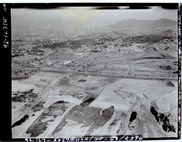
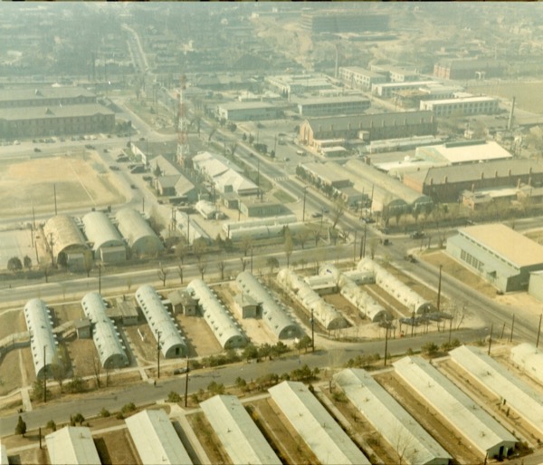
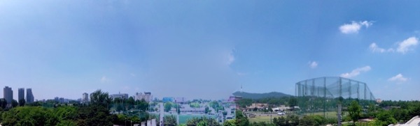
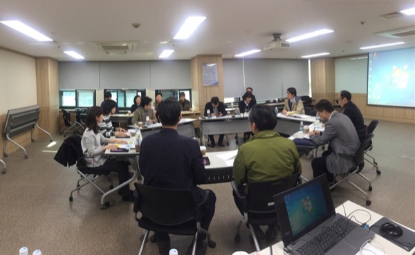
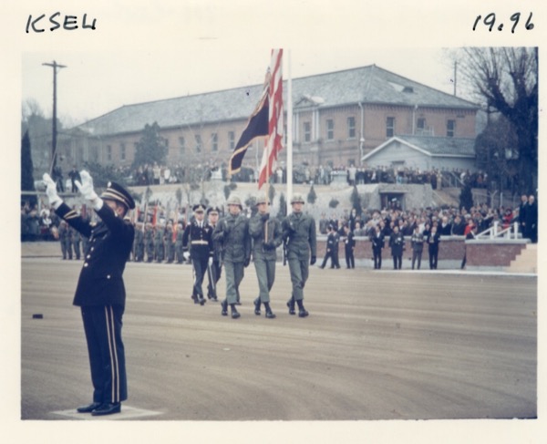
The corpus includes U.S. military record photographs, post-liberation and Cold War aerial views, Yongsan walk materials, and records from seminars and public discussions.
What is the most stable way to navigate it?
Start with the larger folder, then narrow by series name or record group, then use source organization, creator, date, and free search.
Why do public pages show thumbnails instead of originals?
To avoid exposing high-resolution originals directly on the public site, visible previews use derived thumbnails under the /_thumbs path.
What is the difference between Original Record Files and Guided Walks through the U.S. Base and the City?
The former follows the administrative order of military records, while the latter reorganizes materials through curated routes of place reading and urban interpretation.
What question does this archive ultimately ask?
It asks who recorded Yongsan, under what power and administrative order those records were produced, and how we reread them today through park discourse and urban memory.